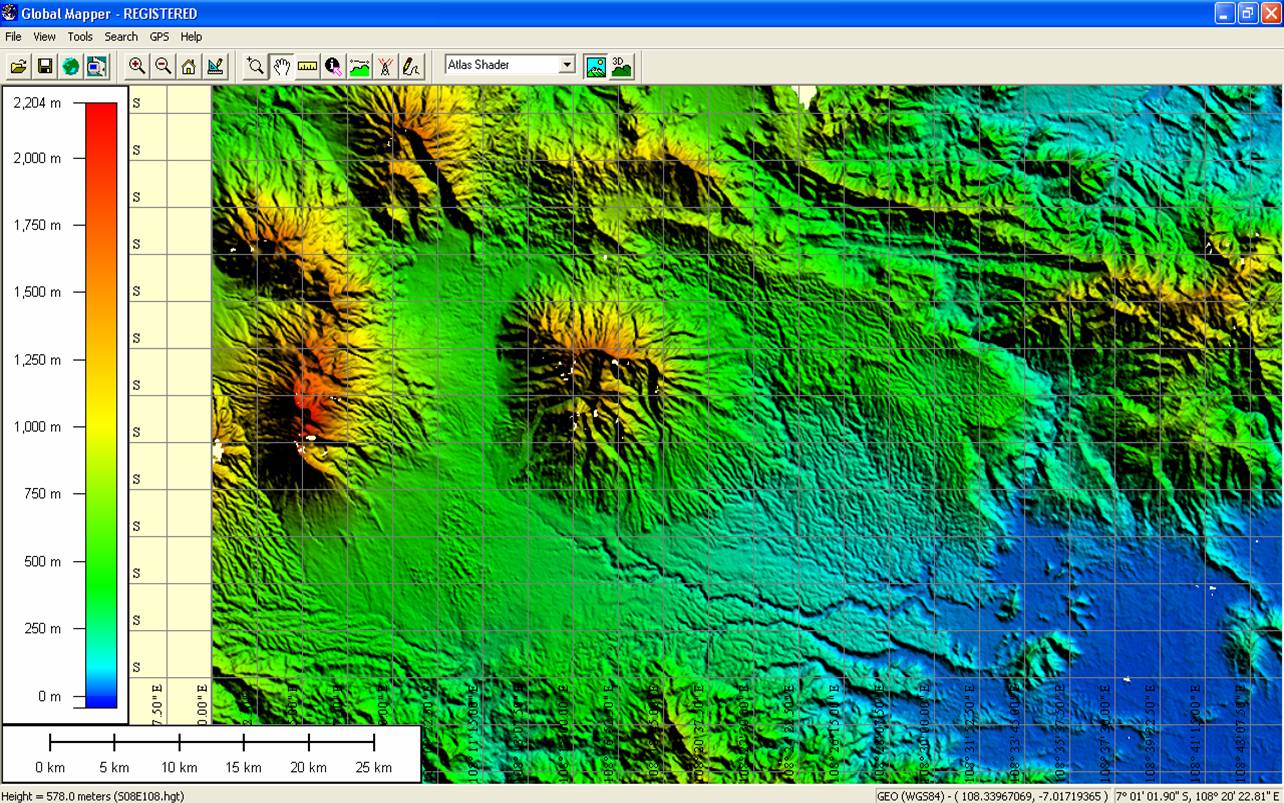
Free Contour for your Preferred Location

DEM Digital Elevation model Providing 30% Error relate original ground terrain.
SRTM 3 arc Second Dem Suitable for Creating Contour for your Preferred Area.
Software used for create Contour from DEM
1.QGIS
2.Arc GIS
3. Erdas imagine
4. Global Mapper
Methodology
1. Download the DEM for required Location.
1. USGS Web site
2.Global Mapper

3.Bhuvan Panchayat

1.1 How to Download SRTM DEM Using Global mapper.
Global Mapper Software Provide Free Data for Spatial Analysis work. (How to Download Global mapper)1.2 How to Export SRTM DEM Using Global mapper.
1.3 How to Generate 5 Meter Interval Contour Using Global mapper.


