The Surveyor can make Civil Projects Work Easy
WHO IS THIS SURVEYOR ?

The person Who can analyse your land and recognize the original plan from map and fixing the land boundary issues in proofable way them we known as surveyor,He can make you the plan from ground reality and provide you the highly accurate measurement.he can handle all kind of survey equipment for making measurement .he can update himself according to the new advance format of survey methods ,he can define you the survey procedure and types .any new kind of survey he can make the method for survey within the shortest time.
HOW HE CAN HELP YOU?

The surveyor can help you to making a plan for any kind of topographical project and construction project ,
as he s knowledge things can make very easy to analyse .when you build a new building ,The Quantity surveyor can make you the cost of the project ,when the measurement has missing in the field the surveyor can easily recognize that and marking again,
he can lead the contractor as per structural plan .

Lets we can study some Main role of Surveyors In CIvil Project .
The modern world need advance changes in environment and technology ,the civil part is covering the main part .


 The Transmission line Project :
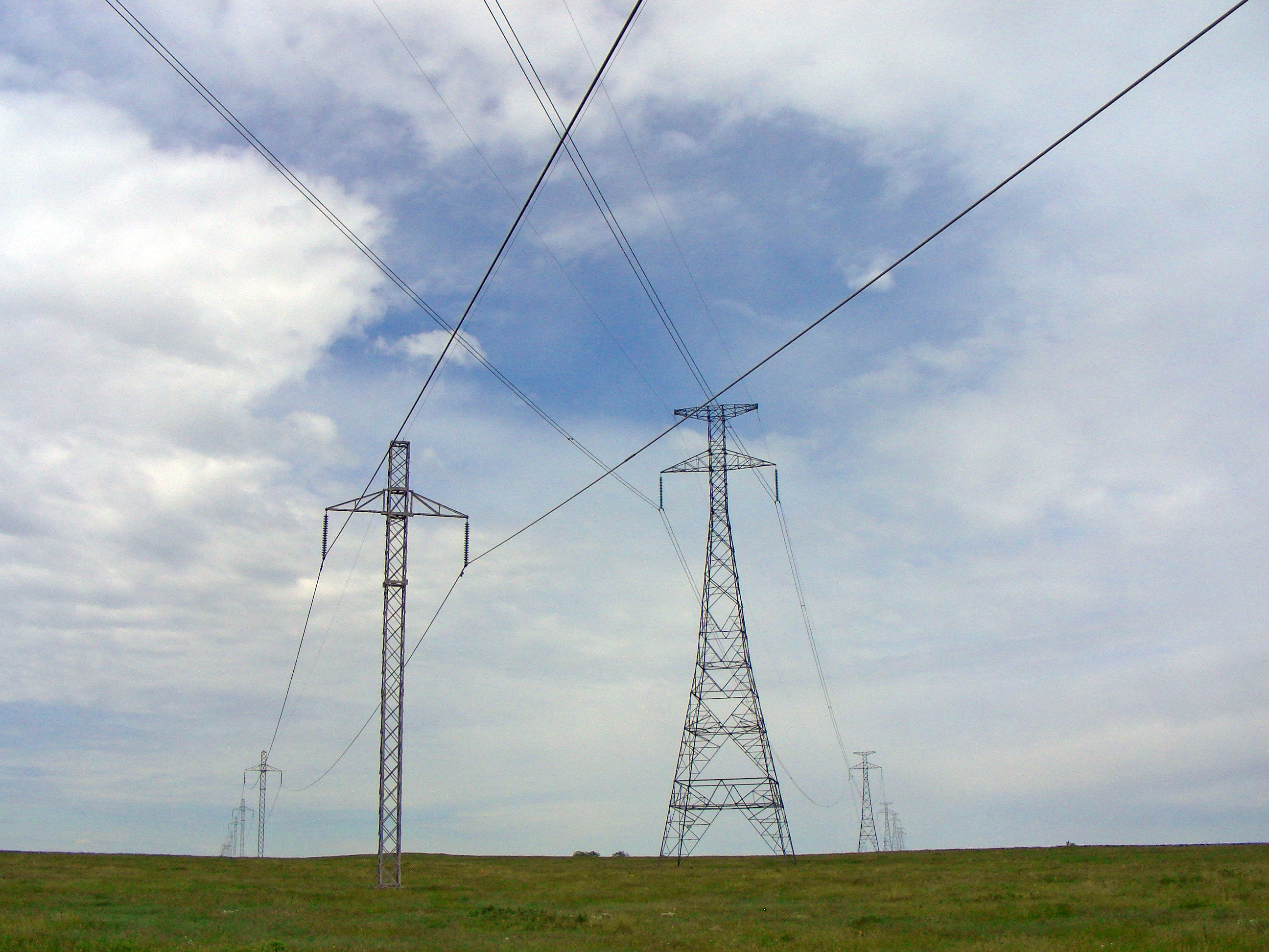
this is the way that electric can displace ment from power plant to substation.
in this process the surveyor is the main role because ,the Rout Alignment ,Topographical Survey ,Profile Design as per Standard Sag ,Tower location Marking ,Rout alignment reference point fixing,ex...
 The following method surveyor have to use for Transmission line Survey
1.Rout Alignment:
Rout alignment is the main part for making the rout map,the surveyor have to get the two basic point that starting point (Substation,Power Plant)and ending point(Substation,Power Plant)then he have to collect the toposheet from concern authority ,ruffly he have to mark the rout accrding to the terms and condition like 1.avoide the dense area 2.it shoud be free from forest,3.Dont coming under any large tree or plant ,4.dont disturbe any building ,5.Shouldnt coming top of the Tube wells ,6.Angle point to Angle point should be folow the length according to the Tower spotting Data ,
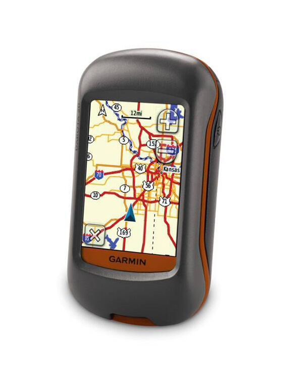
most important that he have to make three rout plan for one project because the client can decide if any changes on existing plan ,the he have to make a walk war survey using the handale GPS for Cross check the Ground Truthing .

Once the Cross check survey will done ,Plan can go for verification to Clients ,
then the estimation of the project can estimated by experts and the tender can announce for the project take over .
 2.Topographical Survey
The surveyors should use the final rout alignment plan and make the topographical survey that cover the all topo feature the radius of 100 metres from Centre line .

the surveyor have to collect the even small object like tube well ,hand pump Tub,tank,Well,
the Power line crossing is very important for making the Profile so the Surveyor Should be collect the all electric network which is coming under the Rout plan ,11Kv line crossing and Pole Demarcation,LT line,33Kv,66KV,132Kv,220KV,400KV,765Kv,any type of power line crossing ,


The Railway Crossing And Highway Crossing have to cover more Radius .

 3.Profile Making
For making Profile some standard application are using ,PLS CADD ,Tower Cadd,
Etc..
Pls Cadd is the powerful application for making the Tower line Profile ,POWER LINE SYSTEM
This application provide the output highly accurate far sag calculation and analysis the wind and ground clearance,also analyse for tower spotting clearance ,


This data will verify by experts from client side ,then only the approval can available .
 4.Tower marking Survey or Check Survey.
The next step of the work are check the final profile data in ground and marking the all Angle points and Tower points for recognize the plan at ground.

The wooden pegs using for the Marking ,The size should be 30cm X 2cm .

5.Prop setting Survey
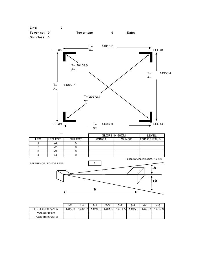
During the Tower foundation the surveyor have to be make the prop setting .it means as per tower plan the marking of four leg corner should be properly marked on ground .
 This are the Main role of Surveyor in Trans mission line Project ,above methods has to be using for making the tower line design .


